MappingAfrica's Mining Future
Explore, analyze, and export geospatial mining data across Africa from licenses and samples to geological insights all in one intelligent platform.
Africa Mining Intelligence System
AMIS gives you clear, reliable mining intelligence before you invest or operate across Africa.
Interactive Mining Intelligence Map: Explore licenses, geology, and samples through a dynamic GIS map with filters and clickable insights.
Structured Data & Export Hub: A centralized environment where mining data is organized, governed, and transformed into professional, decision-ready outputs.
AMIS Makes It Easy to Access Mining Data Across Africa.
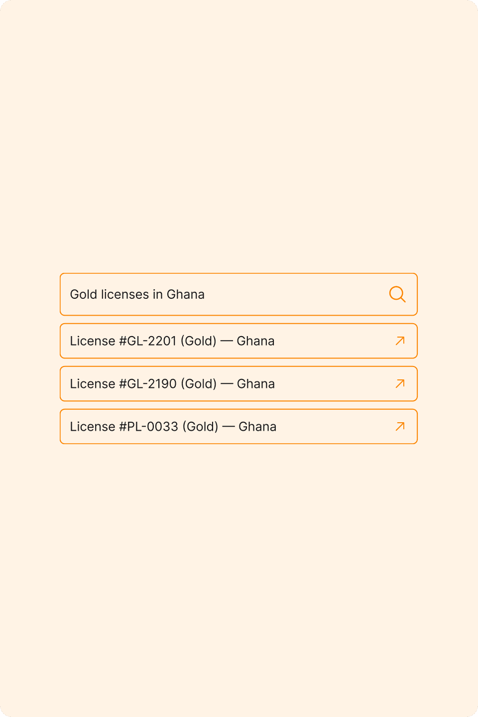
Your mining data library
Browse reports, licenses, and company activities all connected and searchable in one place.
Stay in sync with the field
Get live data streams from exploration and operational sites updated automatically as teams upload new findings.
Find what you need instantly
Get notifications when new permits, discoveries, or updates match your preferences or tracked regions.
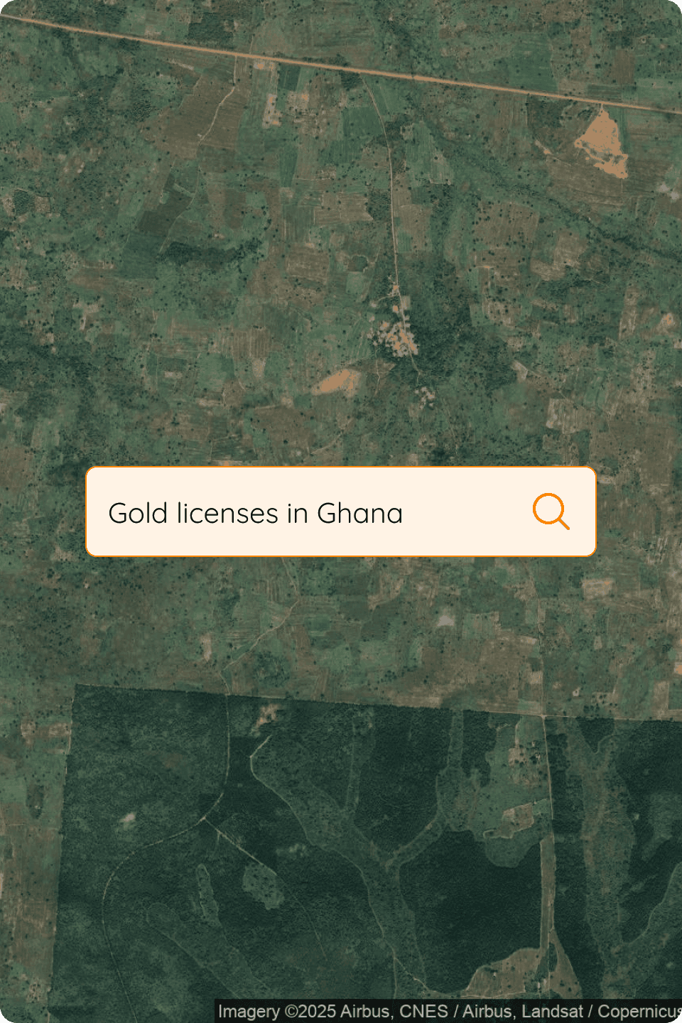
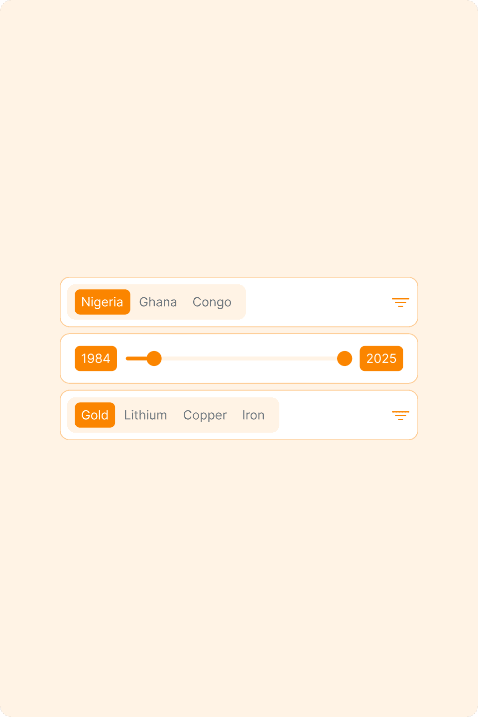
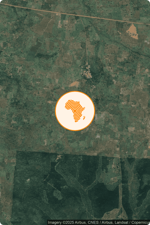
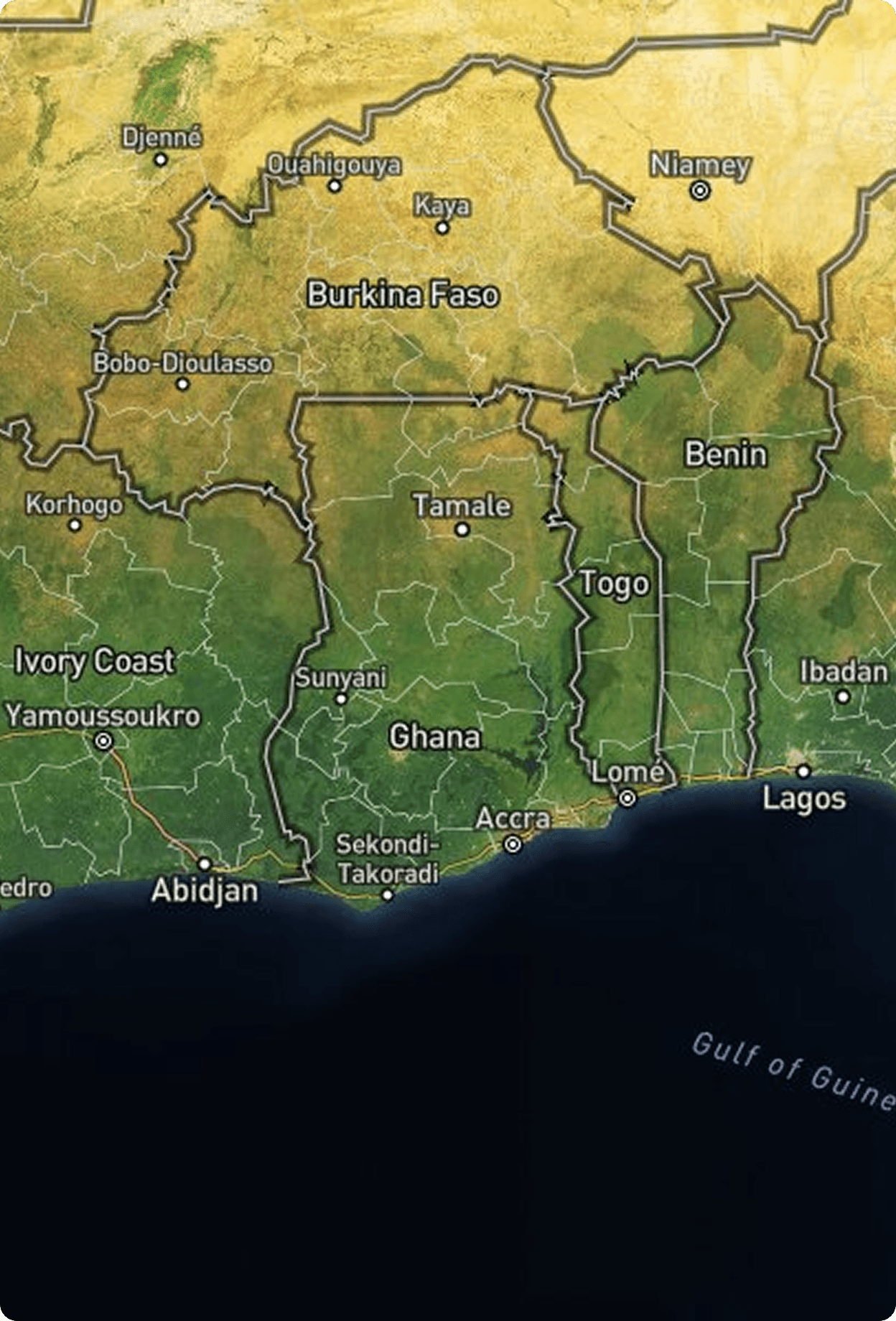
Find Africa's mineral landscape
Zoom into regions, toggle data layers, and view mining licenses or drill programs directly on the map.
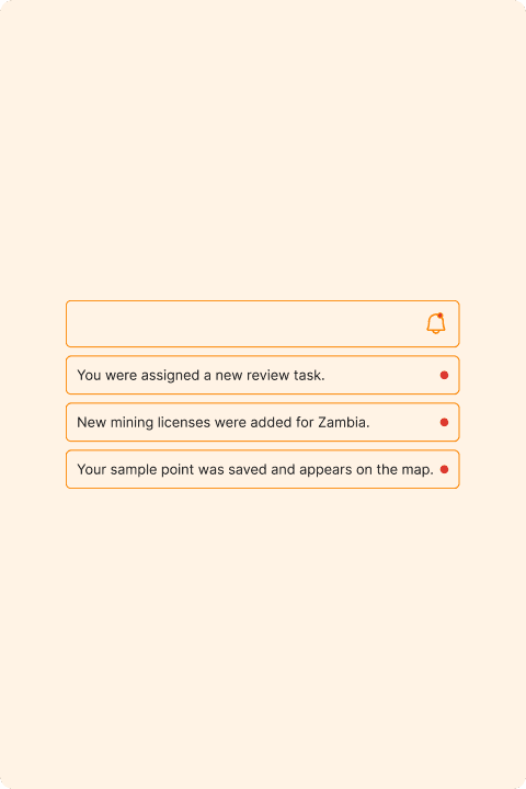
Never miss a discovery
Get notifications when new permits, discoveries, or updates match your preferences or tracked regions.
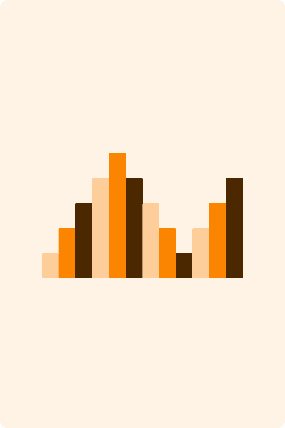
See trends before they shift
Visualize production data and commodity flows with up-to-date charts and Power BI integration.
Your mining data library
Browse reports, licenses, and company activities all connected and searchable in one place.
Stay in sync with the field
Get live data streams from exploration and operational sites updated automatically as teams upload new findings.
Find what you need instantly
Get notifications when new permits, discoveries, or updates match your preferences or tracked regions.
Find Africa's mineral landscape
Zoom into regions, toggle data layers, and view mining licenses or drill programs directly on the map.
Never miss a discovery
Get notifications when new permits, discoveries, or updates match your preferences or tracked regions.
See trends before they shift
Visualize production data and commodity flows with up-to-date charts and Power BI integration.
Here’s how AMIS Works
Everything you need from exploration data to production stats is just a few clicks away
Integrated Mining Intelligence
AMIS consolidates licensing records, geological layers, sample data, and field reports into a unified system. Users can easily search, filter, and export from one consistent source of mining intelligence, eliminating the need for disconnected files and spreadsheets.
Geospatial-First Exploration
AMIS is designed around maps as the primary way users understand mining activity. Data is presented visually across regions, licenses, and geological layers, allowing patterns and opportunities to be identified at a glance rather than buried in tables.
Field-to-Decision Workflow
AMIS connects field data collection with high-level analysis, ensuring that discoveries made on the ground are quickly transformed into usable insights for decision-makers. The platform supports both technical users in the field and strategic users at the office.